County Maps

I don’t particularly see any reason to watch the politainment networks tonight. There’s nothing CNN or MSNBC can tell me that I can’t figure out without having listen to Van Jones or Paul Begala or whoever. One thing I like to do early in election returns is to follow county maps as early states report results. This can give you a very strong sense of where things are going to go through the night. In 2016, I called my wife about 30 minutes after Virginia and North Carolina results starting coming in and told her that Trump was going to win, because it was so clear in the county data how everywhere had shifted hard to Trump.
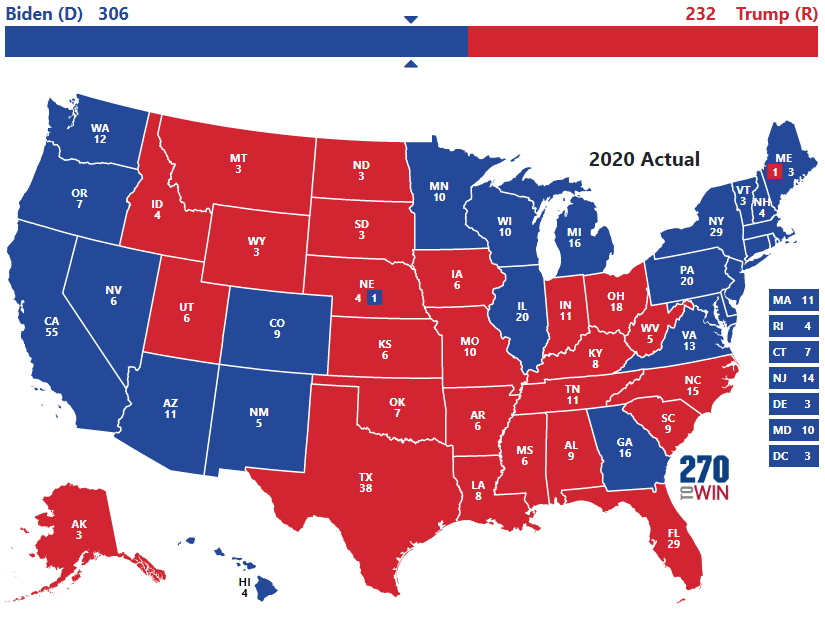
Now, one problem with this today is that Florida does a great job of counting votes quickly, but is perhaps the worst state to follow any trends. In 2020, the move of Latinos hard to to Trump did not portend a broader shift nationwide, though it did among that demographic. So if you had just looked at Florida counties, you would have thought Trump was going to win in a landslide. Since then, with people moving to Florida explicitly to live in looney land, it’s probably even less predictive. But even if you take Florida as an outlier, this should still work in most states, including the fairly early reporting swing states of Georgia and North Carolina. It’s not everything of course (obviously the number of votes matters even more), but you can follow this yourself. Here are the 2016 results and here are the 2020 results. You can click on the state and then the county.


